
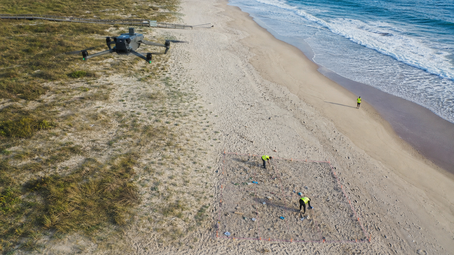
Viana do Castelo's environmental monitoring programme identifies Praia da Arda as a marine-litter monitoring beach. This project coordinates low-altitude RGB mapping of a candidate 100 m section with a ground survey. The exact municipal monitoring segment must be confirmed before fieldwork. Students use a DJI Mavic 3 Enterprise to map visible macro-litter candidates, validate them on the ground and produce a hotspot map. RGB imagery does not detect all items, microplastics, chemical contamination or water-quality conditions.