
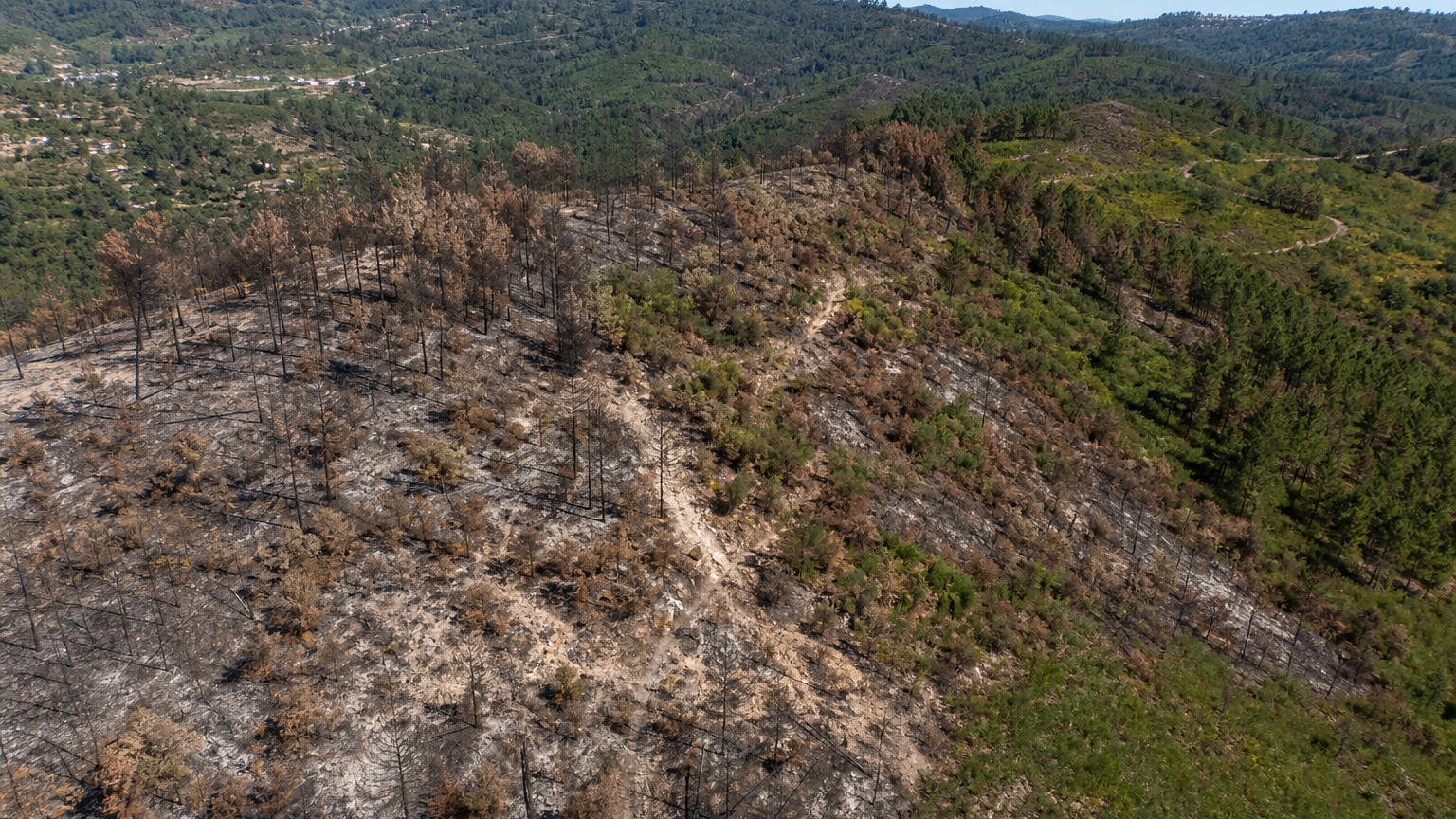
Official sources document September 2024 wildfire activity in Sever do Vouga and a fire in the parish of Talhadas. This project plans an RGB survey of a candidate track-bounded parcel northwest of Fragua. The exact parcel, access and intersection with the documented burn area must be confirmed before fieldwork. Using the standard camera of a DJI Mavic 3 Enterprise, students map visible green cover, bare ground, standing dead vegetation and visible erosion indicators. These observations are surface proxies; they do not measure burn severity, soil condition or ecological recovery.