
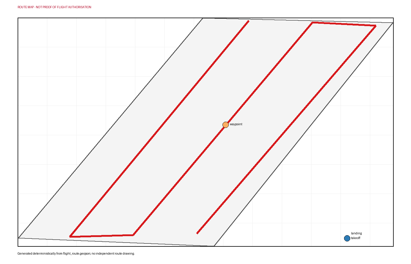
Praia da Cova-Gala is a documented beach in Figueira da Foz, within the Cova-Gala–Costa de Lavos coastal sector assessed by the Portuguese Environment Agency. For the cited 2018–2021 period, APA reported that 90% of this approximately 4 km sector was in erosion, including 55% classified as severe or extreme. This project uses the factory-integrated RGB camera of a DJI Mavic 3 Enterprise to plan repeatable aerial documentation of a visible shoreline proxy and dune edge. Students create an orthomosaic and mapped observations while recognising that a single survey cannot establish a long-term erosion rate.