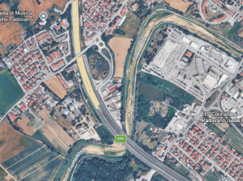
This project invites students to explore how drones can support the monitoring of riverine litter and floating debris along the water course. The learning activities utilize a DJI Mini 4 Pro drone to observe pollution patterns from a high-resolution aerial perspective, capturing data that is often impossible to collect through traditional riverbank or shore-based surveys.
Environmental pollution, particularly marine litter, significantly impacts biodiversity, water quality, and human health. Rivers act as "conveyor belts," transporting waste from inland areas to the ocean. Monitoring these debris flows traditionally involves difficult manual sampling from boats or dangerous walks.. Drone technology offers a safer, more comprehensive way to audit these pollution hostspots allowing for the rapid quantification of waste over large areas.
Students practice planning precise mapping missions and operating the drone to capture scientific-grade imagery. The project encourages deep reflection on the role of digital tools in environmental stewardship and the Circular Economy.
Students consider how drones can assist in tracking pollution sources without interfering with riverine ecosystems or/and maritime activities. Attention is given to aviation rules, safety, and ethical data handling. This experience bridges the gap between digital engineering and environmental science, helping students understand how systematic observation and data analysis can support effective responses to global plastic pollution.