
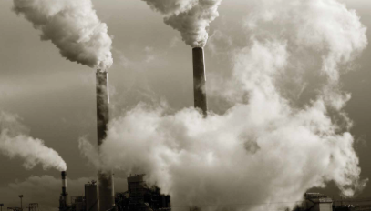
This study aims to analyze the vertical and horizontal dispersion of microparticles (dust and PM2.5) emitted from industrial facility chimneys and open-pit mining areas, such as cement plants and mines. Using a custom-built quadcopter drone integrated with a Laser PM2.5 sensor, vertical profiling flight missions are conducted at varying strategic altitudes (10m, 30m, and 50m) around the facility stacks. The collected real-time particulate data is transmitted via a telemetry system to the ground control station and mapped against precise geographic coordinates and altitude profiles. Within the project framework, students practically investigate the behavioral patterns of industrial air pollution across different atmospheric layers, evaluating the impact of meteorological factors like wind speed and direction on particle deposition graphics. The final outputs are transformed into 3D vertical dispersion models to be utilized in risk assessments for adjacent residential areas and filtration efficiency audits for the factories.